UK Drought to Ease as Low Pressure Brings Rain
+AI Analysis - Key Points
- 01
UK drought worsens with no significant rain in southern England for two months
- 02
Low pressure brings rain, but exact location and distribution uncertain
- 03
Weeks of above-average rainfall needed to make significant drought changes
High pressure has been the dominant weather pattern across the UK this summer, leading to hot and dry conditions, particularly in England and Wales. The prolonged dry spell has resulted in significantly dropped water levels in rivers and reservoirs, with all of Wales and most of England currently in drought.
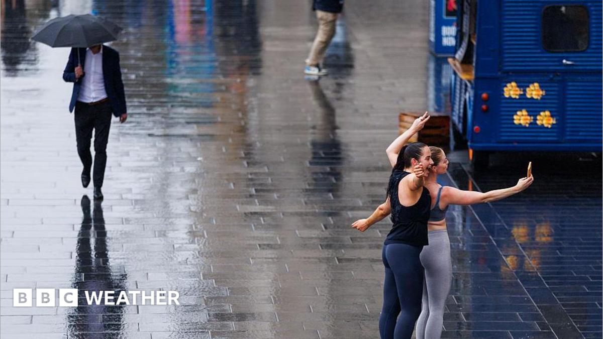
However, a change in the weather is on the horizon as high pressure gives way to the influence of low pressure and more unsettled conditions. Some light rain is expected on Monday, primarily affecting northern areas of the UK, before turning heavier and moving into southern England by Tuesday and Wednesday. While the rain will be welcome, it may become more showery, making the exact location and distribution of rainfall uncertain.
The emergency services, who have been battling against the extreme weather and wildfires over the last few weeks, are likely to see a significant difference with the fire severity index expected to come down to low or moderate, according to forecasts from Natural England and the Met Office. Nevertheless, it will take weeks of above-average rainfall into the autumn to make any significant changes to the drought.
VideoVideo Coverage
UK Drought to Ease as Low Pressure Brings Rain
Watch video coverage on YouTube
Opens relevant video results on YouTube.